Engineering Integrity.
Since 2006.
Headquartered in Bengaluru, Geopage Consultants operates at the intersection of traditional surveying excellence and cutting-edge geospatial reality capture.
Years of Excellence
Since 2006
Man-Years Expertise
Unified Domain
Projects Delivered
Pan-India Scope
Villages Surveyed
JJM Water Mission
Closing the gap between raw data & engineering intelligence.
Geopage Consultants was established in 2006 with a singular mandate: to transform raw geospatial measurements into high-fidelity, actionable engineering intelligence. Over two decades, we have evolved from a specialized surveying firm into a multi-disciplinary spatial consultancy.
Our teams execute large-scale government flagship programs, national rural drinking water missions, state highway networks, and industrial plant reverse engineering across the subcontinent.
2006
Established
Pan-India
Mobilization

From Total Stations to LiDAR & AI-Powered Digital Twins
Two Decades of Spatial Evolution
Trace our technological milestones from pioneering land surveys to national drone mapping and autonomous AI digital twins.

Founding & High-Precision Geodetic Surveying
Founded Geopage Consultants in Bengaluru — delivering boundary, topographic, and total station engineering solutions for major infrastructure initiatives.
Not a vendor. A Strategic Partner.
We provide the technical backbone through every stage of the infrastructure lifecycle—from initial reconnaissance to digital twin handovers.
Design
Survey-grade spatial data informing every design decision from day one.
Construction
As-built verification and progress monitoring with millimeter-level accuracy.
Operation
Digital twin feeds live asset management: infrastructure that knows itself.
Maintenance
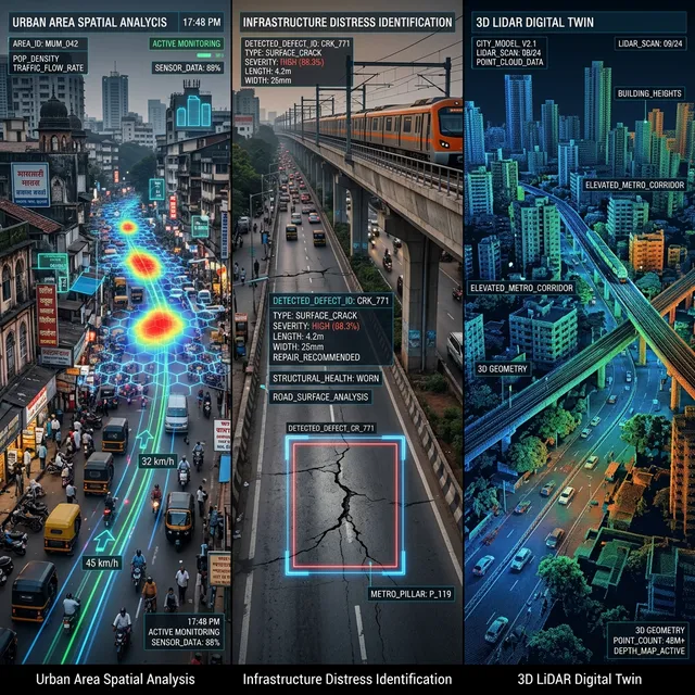
Predictive AI models flag structural degradation before it becomes critical failure.
Built on Unified Expertise.
High-accuracy spatial engineering grounded in rigorous quality assurance protocols.
Precision First
Every point cloud, topographic map, and algorithmic model meets exact municipal tolerances and strict civil engineering requirements.
AI Integration
We pair decades of traditional surveying expertise with machine learning techniques for automated asset lifecycle monitoring.
Lifecycle Partner
From initial reconnaissance surveys to digital twin handovers, we manage the entire engineering pipeline, not just the scan.
Domain Expertise
Unified expertise across civil engineering, geospatial science, reality capture, and advanced software engineering.
Ready to initialize your next project?
Partner with India's leading spatial engineering consultancy to digitize, verify, and optimize your infrastructure.
Request Executive Consultation