Every Millimetre.
Captured Once.
High-accuracy LiDAR scanning and photogrammetry for industrial plants, infrastructure, and heritage sites. Engineering-grade point clouds processed into BIM-ready models and construction progress reports.
Scan Accuracy
FARO / Leica Grade
BIM Delivery
As-Built Standard
Per Scan Setup
Industrial Coverage
Core Capabilities
Terrestrial LiDAR Scanning
FARO Focus and Leica RTC360 scanners capture millimeter-accurate point clouds of structures, corridors, industrial plants, and heritage sites. Every dataset is registered, georeferenced, and classified.
Scan to BIM & As-Built Documentation
Registered point clouds converted into IFC-compliant as-built BIM models at LOD 300–500. Essential for industrial retrofit design, facility management, and infrastructure digital twins.
Construction Progress Monitoring
Periodic LiDAR scans overlaid against the design model to track construction progress, detect deviations, and validate completed works at any stage of the build cycle.
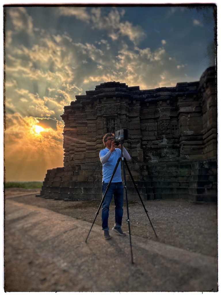
Heritage Documentation & HBIM
Non-contact 3D laser documentation of historic monuments, forts, and temples. Condition-mapped point clouds and semantic HBIM models aligned with ASI standards for conservation planning.
Project Deliverables
Technical FAQ
Ready to scan your site?
Share your project brief. We respond within 24 hours.