Geodetic Control for Survey-Grade Data
Millimetre accuracy is not a scanner specification, it is a control network. How DGPS baselines, benchmarks and datum ties make data trustworthy.
Every accuracy claim stands on a geodetic control network: ground points of known position, observed for hours with multi-frequency GNSS, adjusted with loop closures checked. Every scanner, drone and sounder then works inside that frame. Without control, a millimetre scanner produces centimetre soup. With it, LiDAR, photogrammetry and BIM all inherit survey-grade truth.
Ask a surveyor how accurate their LiDAR is and you'll hear "two millimetres". Ask how accurate the project is and the honest ones start talking about control networks, baselines and benchmarks. The scanner is the least interesting part of accuracy. The groundwork is everything.
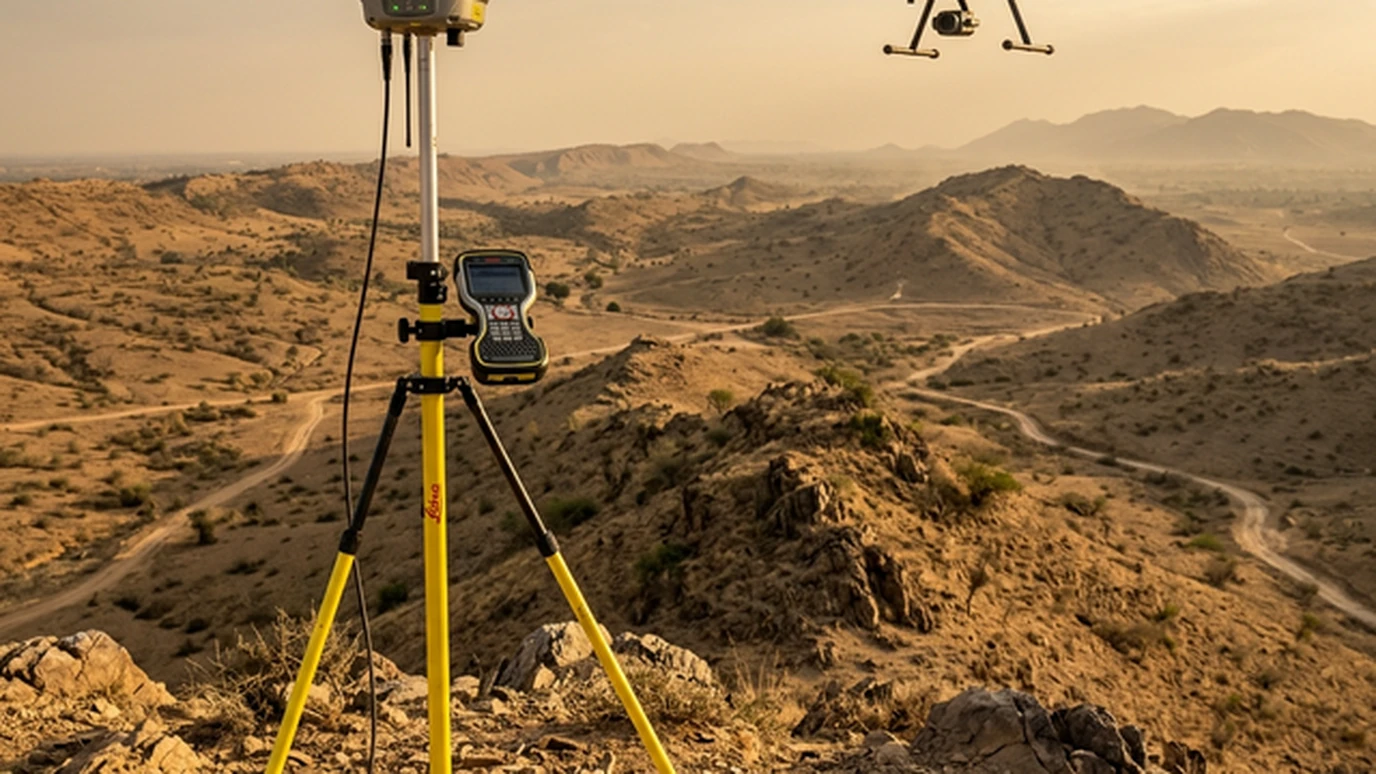
Accuracy is a network, not a number
A control network is a hierarchy. Primary pillars, observed with multi-frequency GNSS over long static sessions, fix the project's skeleton to the national frame. Secondary points densify it to working distances. Tertiary pickups put detail on the map. Each level inherits the strength of the one above, and the adjustment report proves it with residuals at every stage.
Skip a level and the error shows up somewhere expensive: a BIM model that won't close, a drone orthomosaic that slides against the DGPS grid, a highway alignment that disagrees with the revenue map by a lane width.
The field procedure, step by step
- Reconnaissance and monumentation. Stable, recoverable locations clear of multipath and overhead obstruction. Pillars or deep-driven marks are documented with sketches and photographs.
- Static baselines. Simultaneous multi-hour observations on primary lines with GPS, GLONASS, Galileo and BeiDou tracking. Redundancy is the point, not speed.
- Loop closures and adjustment. Every loop must close within tolerance before the network is accepted, and independent check observations confirm it.
- Datum tie. Connection to Survey of India benchmarks and a published transformation to the working frame, recorded in a datum statement that outlives the project team.
On a recent corridor programme, a 40-kilometre primary traverse closed at better than 1:100,000 with sub-centimetre check residuals. Every downstream deliverable inherited that foundation. (Geopage project data.)
What control buys each downstream product
Terrestrial LiDAR registers scan to scan without drift, so a 200-station plant survey still closes. Drone photogrammetry needs fewer ground control points per square kilometre and holds absolute position instead of merely relative shape, which is the difference between a pretty mosaic and a legal survey. Scan-to-BIM models sit on true coordinates, so the BIM-to-site setting out actually works. And multi-epoch monitoring becomes possible at all: without stable control, change detection measures your own error.
How to read a survey proposal
When a tender promises "millimetre accuracy", look past the instrument brochure to four lines: the control methodology, the observation durations, the closure tolerances, and the published residuals. A proposal with those four lines is engineering. One without them is shopping.
Related reading and services
- Reality capture and precision surveying: control-led LiDAR, DGPS and drone acquisition.
- Scan-to-BIM for brownfield revamps: what good control enables downstream.
- Drone vs LiDAR for topographic surveys: both need the same ground truth.
- Technology stack: our GNSS, LiDAR and processing toolchain.
Cheap insurance
Instruments depreciate; control endures. A proper geodetic network is the cheapest insurance on a survey programme: a few days of GNSS work that makes every subsequent deliverable defensible.
Need a datum-strong foundation for your next survey? Discuss control design with Geopage →
Frequently asked questions
What is a geodetic control network in plain terms?+
A set of permanent ground markers with precisely known coordinates, arranged from a few primary pillars down to dense secondary points. Every instrument on the project (scanner, drone, GPS rover) references these points, so all datasets land in the same coordinate frame.
Why isn't the scanner's own accuracy enough?+
A scanner measures beautifully relative to itself. But placing that scan on the earth, at the right location, rotation and height, needs external control. Ten perfect scans joined without control drift apart like unregistered puzzle pieces.
What is the difference between RTK and static GNSS observation?+
RTK gives centimetre positions in seconds and is ideal for detail pickup and machine control. Static observation, logging for hours on primary baselines, delivers the millimetre-grade skeleton the RTK work hangs from. Serious projects use both.
What datum should Indian projects use?+
WGS84/UTM for the working frame, tied to Survey of India benchmarks and the national vertical datum where the contract requires it. The key deliverable is a datum statement (what frame, what epoch, what transformation), so the next consultant can reproduce your coordinates.
How do you prove the control is good?+
Loop closures, redundant baselines, independent check points, and residuals published in the report, not just claimed. If a survey report has no control statistics, treat its accuracy figures as marketing.
Related insights
More perspectives from our engineering team on related topics.
Surveying 4,000 Villages for a Rural Water Mission
How drone photogrammetry and a DGPS control network delivered topographic surveys for 4,000 villages across 1,500 km² of rural India.
Read ArticleDrones vs LiDAR: Which Survey Tool to Use
A practical decision guide to drone photogrammetry vs UAV LiDAR: what each sensor can actually measure, and how we choose on real projects.
Read ArticleDrone Surveys for PMGSY Rural Roads
How drone topography, DGPS control and GIS keep rural road DPRs tied to the ground: fewer deviations, faster sanctions, cleaner bills.
Read Article