Change Detection for Dams and Structures
Epoch-to-epoch laser scanning that separates real structural movement from survey noise, for dams, heritage, mines and high-rises.
Structures move. The question is whether this epoch's movement is real. Monitoring rescans the asset with the same method, from the same control, at planned intervals, then differences the epochs to isolate displacement from noise. Millimetre comparison flags bulging, settlement and creep while they are still maintenance items, long before they become emergencies.
Concrete creeps, slopes relax, old masonry settles, slowly, until suddenly. The difference between a maintenance entry and a disaster inquiry is usually a few years of ignored millimetres. Deformation monitoring exists to catch the millimetres while they are still cheap.
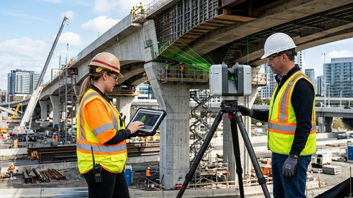
Movement is normal. Unmeasured movement is not
Every large structure moves with temperature, water load and time. A dam face breathes seasonally. A mine highwall relaxes after each pushback. A heritage tower leans a little more each decade. None of this is news. What matters is the rate, the location and whether it is accelerating, and those only emerge from designed repetition, not from comparing two surveys that were never meant to be compared.
Designing epochs that can be differenced
The entire discipline rests on repeatability, decided before epoch one:
- Permanent stable control outside the deformation zone, the reference everything is measured against, re-observed every epoch.
- Identical geometry: same scanner stations or flight lines, same resolution, same season where thermal effects matter.
- A stated detection threshold, for example "displacement above 5 mm at 95% confidence is reported", agreed with the engineer of record in advance.
- Registration with residuals published: cloud-to-cloud or target-based alignment, with the misclosure stated, so the reader knows what "zero" cost.
This is why geodetic control is the first chapter of every monitoring specification we write. The scanner is interchangeable. The control is not.
Reading a displacement heatmap honestly
The classic deliverable colours the structure by movement between epochs. Reading it well means knowing what colours lie about: thermal expansion masquerading as bulge, vegetation growth flagged as slope movement, a wet surface scanning differently from a dry one. Our reports separate signal (spatially coherent, epoch-consistent displacement) from artefact, zone by zone. A false alarm that stops a plant costs nearly as much credibility as a missed one.
On a dam gallery programme, five annual epochs showed a stable face with one abutment block drifting 2 to 3 mm per year. It was inside tolerance, but it now sits on a watch list with its own section in every subsequent report. That is monitoring working exactly as intended. (Geopage project data.)
Where monitoring pays for itself
Dams and barrages under state dam-safety review. Heritage structures where HBIM documentation gains a time dimension: condition then, condition now. Mines, where highwall and dump stability is a production-safety question answered weekly, not annually. Urban deep excavations, where the neighbour's building is the structure being monitored. In each case the cost of the programme is a rounding error against the cost of being wrong.
Related reading and services
- Geodetic control for survey-grade data: the reference frame monitoring stands on.
- Heritage temple LiDAR documentation: the baseline epoch for heritage assets.
- Drone LiDAR volumetrics for mines: highwall and stockpile change between epochs.
- Reality capture and precision surveying: monitoring-grade LiDAR acquisition.
Listening on schedule
A structure tells you it is moving long before it fails. Deformation monitoring is the discipline of listening on schedule, with instruments calibrated, control fixed, and thresholds agreed before anyone needs them.
Responsible for a dam, slope, or ageing structure? Design a monitoring programme with Geopage →
Frequently asked questions
What is the difference between monitoring and a repeat survey?+
Intent and design. A repeat survey remeasures; a monitoring programme is designed from day one for comparison: same control, same geometry, same resolution, with a detection threshold stated in advance. Only then can a 4 mm difference be called movement instead of noise.
How small a movement can you actually detect?+
With terrestrial LiDAR and a stable control network, repeatable detection at a few millimetres is realistic on hard surfaces at moderate range. The honest answer always comes with conditions: range, incidence angle, surface character and the registration residuals of that specific epoch pair.
Which structures need deformation monitoring?+
Concrete and masonry dams, ageing heritage structures, mine highwalls and dumps, deep excavations and their neighbours, landslip-prone highway slopes, and tall structures in settlement zones. Regulators increasingly ask for it by name on dams and metros.
Can drones do deformation monitoring?+
For large-area change such as dump volumes, slope creep and erosion gullies, yes, with strict ground control. For millimetre structural movement on a dam face, terrestrial LiDAR or precision total-station networks remain the standard. Use each where its error budget fits.
What does the client receive after each epoch?+
A displacement heatmap on the structure, cross-sections through zones of interest, a movement-versus-threshold table with engineering commentary, and the raw registered clouds for their own auditor. Trends across epochs matter more than any single reading.
Related insights
More perspectives from our engineering team on related topics.
Documenting Heritage Temples with LiDAR
How terrestrial LiDAR and photogrammetry record a heritage temple to the millimetre, creating an ASI-ready condition baseline for conservation.
Read ArticleUSV Bathymetry for Reservoirs and Dams
How unmanned surface vessels map reservoir beds, siltation and dam approaches safely, and why bathymetry belongs in every storage audit.
Read ArticleDemolition Is a Failure of Engineering Imagination
Demolishing a heritage building is usually a failure of engineering imagination, not a technical necessity. Here is the measured case for reuse.
Read Article