WebGIS Asset Registers for Municipalities
A GIS nobody opens is a map, not a system. How PostGIS-backed WebGIS registers turn road, water and drain inventories into daily municipal tools.
A municipal asset register only works if engineers open it daily. That means a WebGIS portal on a PostGIS database, with every road, water asset, drain and streetlight held as a versioned record with geometry, photographs and history. It should be editable on a phone in the field, queryable from any browser and exportable for AMRUT reporting.
Most municipal GIS projects die the same way. A handsome map is handed over, opened twice, and abandoned when the first engineer gets transferred. The failure was never the surveying. It was building a map when the municipality needed a register, a living database its staff would open every morning.
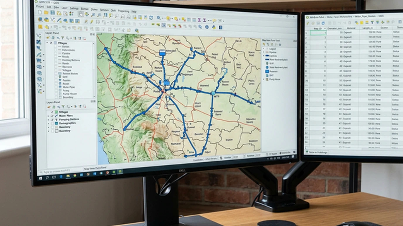
Map versus register
A map answers "where". A register answers "where, what, what condition, what did we spend, what's next" for every road segment, water connection, drain reach, streetlight and valve in the town. Geometry is maybe a fifth of the work. The rest is schema design: what attributes each asset carries, who may edit what, and what history is kept.
Get the schema right and the portal becomes the town's institutional memory. Get it wrong and you have a colourful PDF with a login screen.
The stack that makes it affordable
- PostGIS as the system of record. Every asset is a versioned row with geometry, attributes, photos and edit history, queryable in SQL.
- QGIS for power users: cartography, analysis and bulk edits on the desktop, free forever.
- A WebGIS portal for everyone else. Ward engineers, commissioners and citizens see role-appropriate views in a browser, with no software installed.
- Mobile collection apps for the field, working offline and syncing when connected, with every observation timestamped and attributed.
No per-seat licences, no proprietary lock-in and no ransom when the vendor is acquired. For a ULB watching every lakh, that matters as much as any feature.
Populating it: survey once, use for years
The register starts with a baseline inventory: drone and DGPS mapping for roads and drains, consumer indexing and FHTC tagging for water under JJM, and pavement scoring for the road network. Each asset enters with a unique ID, a photograph and a condition grade. From that day the register only accepts updates; it is never rebuilt. That is why the initial survey's accuracy and the ID scheme deserve real thought.
On a recent municipal programme, a 400-kilometre road and drain inventory with 60,000+ water assets went from scattered registers to a single portal in one field season. Complaint resolution started referencing asset IDs within weeks. (Geopage project data.)
Governance: the unglamorous decisive part
Technology is the easy half. Registers survive on three rules. The portal is the single source of truth, so kill the parallel spreadsheets. The people who do the work get trained, not just the officers who attend the launch. And daily workflows such as complaints, billing and maintenance run through the register, so using it is unavoidable. Write these into the handover, or budget for a second inventory in three years.
Related reading and services
- Geospatial engineering and GIS: QGIS, PostGIS and WebGIS delivery.
- Infrastructure asset management: from inventory to funded maintenance.
- Network pavement condition surveys: the road layer of the register.
- Multi-village water scheme design: the water layer of the register.
Daily use is the test
A register that engineers open daily is infrastructure. One they don't is a souvenir. Build the database, the portal and the habits together, in that order of importance and the reverse order of difficulty.
Considering a GIS asset register for your ULB or utility? Scope it with Geopage's geospatial team →
Frequently asked questions
What is the difference between a GIS map and an asset register?+
A map shows where things are. A register knows what each thing is, what condition it is in, what was spent on it and what it needs next, with history. The map is the interface; the register is the database behind it.
Why PostGIS and QGIS instead of proprietary GIS?+
No licence meters running, full SQL power for queries and reporting, open formats that survive vendor changes, and a talent pool your ULB can actually hire. For municipal budgets, open-source GIS is not a compromise, it is the rational choice.
How do field teams update the register?+
Through mobile data-collection apps tied to the same database: photograph a valve, log a repair, close a complaint. Each action lands as a timestamped record against the asset. Offline-first design matters because field connectivity cannot be assumed.
What does AMRUT have to do with asset registers?+
AMRUT and Smart City funding increasingly expect ULBs to demonstrate asset inventories and service-level benchmarking. A maintained register turns compliance reporting from a consultancy project into a database query.
How do you stop the register dying after handover?+
Three things: make it the only place the data lives (no parallel Excel), train the actual operators not just the officers, and wire it into a workflow that already happens daily. Complaints, billing or maintenance must flow through the register.
Related insights
More perspectives from our engineering team on related topics.
Network Pavement Condition Surveys
How network-level pavement surveys with vision AI turn thousands of road kilometres into a ranked maintenance list, instead of whoever shouts loudest.
Read ArticleDrone Surveys for PMGSY Rural Roads
How drone topography, DGPS control and GIS keep rural road DPRs tied to the ground: fewer deviations, faster sanctions, cleaner bills.
Read ArticleChange Detection for Dams and Structures
Epoch-to-epoch laser scanning that separates real structural movement from survey noise, for dams, heritage, mines and high-rises.
Read Article